


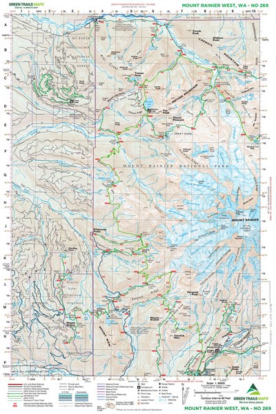
Mount Rainier West - 269
Pickup available at Whittaker Mountaineering
Usually ready in 24 hours
Mount Rainier West - 269
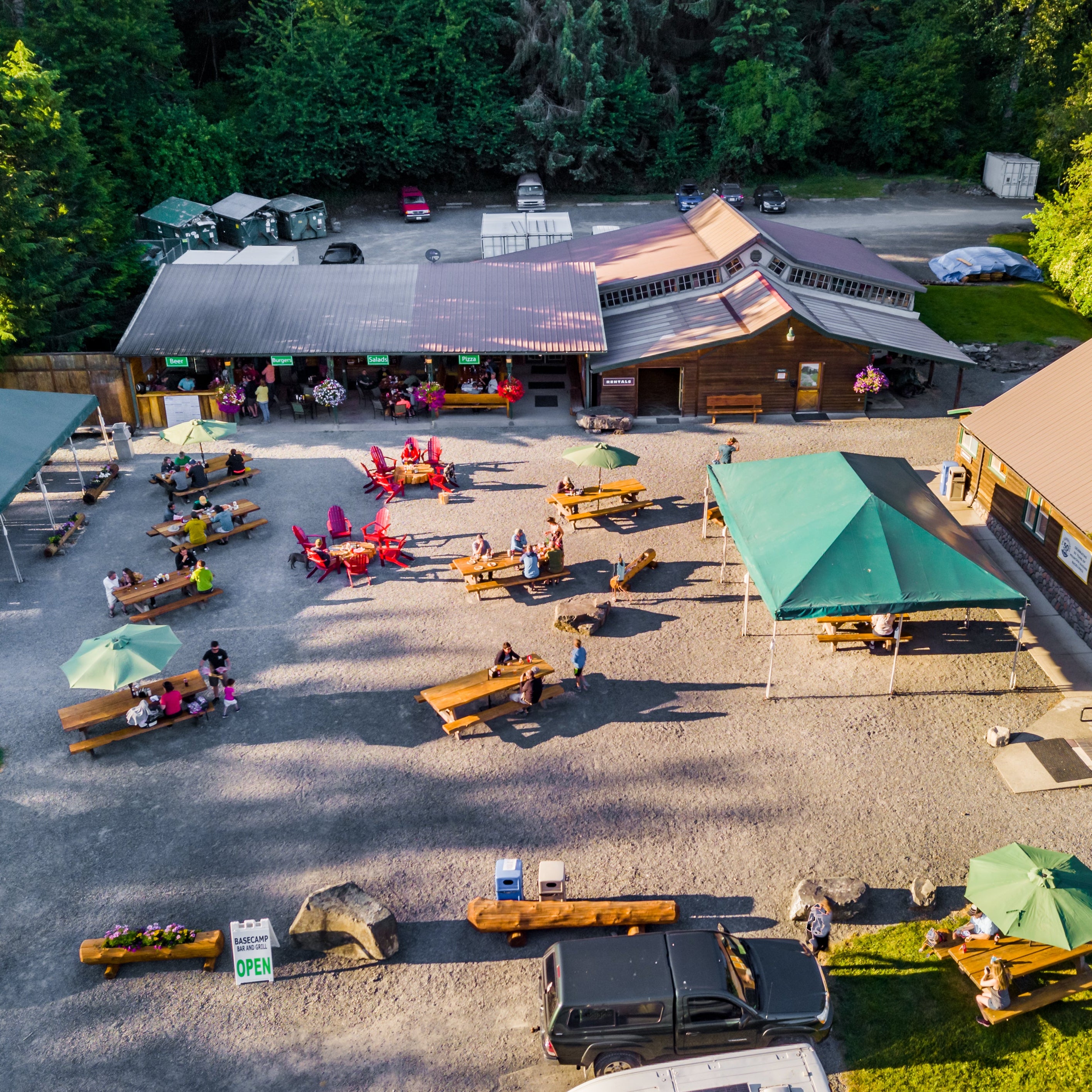
Whittaker Mountaineering
30027 SR 706 E
Ashford WA 98304
United States
Description
Detailed navigation for the western reaches of Rainier.
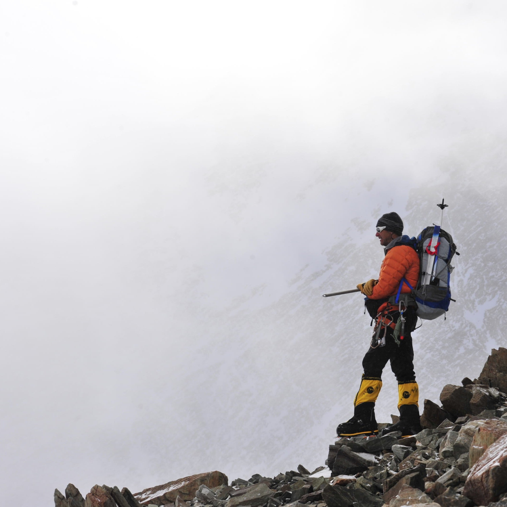
The Mount Rainier West No. 269 map is a topographic 15-minute series map produced by Green Trails. It provides essential coverage for hikers and backpackers exploring the western portion of Mount Rainier National Park, from deep river valleys to high alpine glaciers. Designed for durability in the field, this map ensures accurate route-finding through some of the most iconic and rugged terrain in the Pacific Northwest.
Details & Features
Specs & Materials
Sizing
See Specs tab for Sizing Details
Detailed navigation for the western reaches of Rainier.
The Mount Rainier West No. 269 map is a topographic 15-minute series map produced by Green Trails. It provides essential coverage for hikers and backpackers exploring the western portion of Mount Rainier National Park, from deep river valleys to high alpine glaciers. Designed for durability in the field, this map ensures accurate route-finding through some of the most iconic and rugged terrain in the Pacific Northwest.
See Specs tab for Sizing Details

We Simplify
Outfitting
Whittaker Mountaineering was born out of the need for RMI to make sure their clients had the appropriate gear to get to the top of Mt. Rainier safely. After decades of trying, reviewing, arguing-over, and recommending gear, we can’t help but know what we’re doing by this point. We know what works, we know what doesn’t, and we use that expertise to stock our store.
- Free Shipping On orders over $150
- Easy Returns - 30 days, no hassle returns