


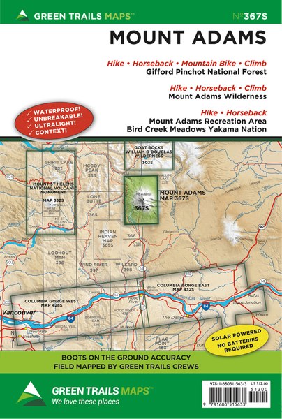
Mount Adams, WA - 367S
Pickup available at Whittaker Mountaineering
Usually ready in 24 hours
Mount Adams, WA - 367S
Whittaker Mountaineering
30027 SR 706 E
Ashford WA 98304
United States
Description
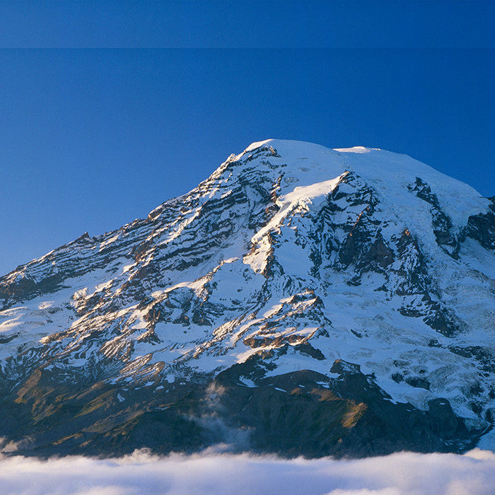
Essential navigation for Washington’s second-highest peak.
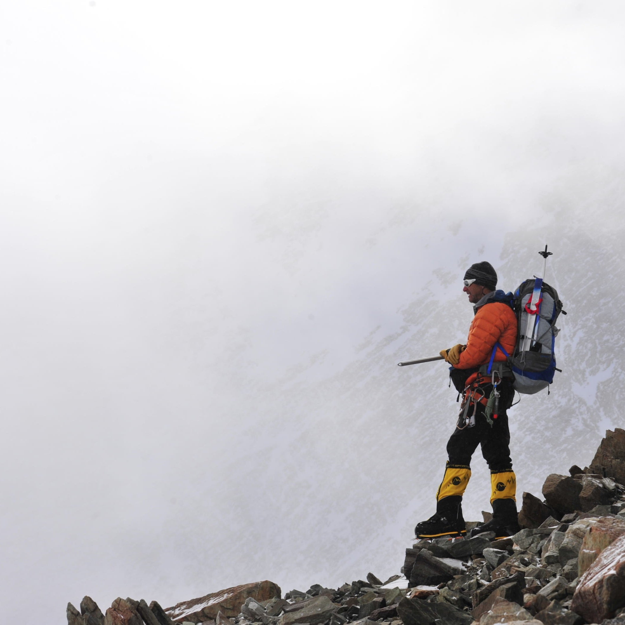
The Mount Adams No. 367S map provides detailed coverage of the rugged alpine beauty and stunning trails found within the Mount Adams Wilderness and the Yakama Nation Mount Adams Recreation Area. It serves as an integral resource for adventurers planning to summit the 12,276-foot glacier-shrouded peak or explore the expansive surrounding meadows. This map ensures reliable route-finding for day hikers, equestrians, and long-distance trekkers navigating the diverse landscapes of the South Cascades.
Details & Features
Specs & Materials
Sizing
See Specs tab for Sizing Details
Essential navigation for Washington’s second-highest peak.
The Mount Adams No. 367S map provides detailed coverage of the rugged alpine beauty and stunning trails found within the Mount Adams Wilderness and the Yakama Nation Mount Adams Recreation Area. It serves as an integral resource for adventurers planning to summit the 12,276-foot glacier-shrouded peak or explore the expansive surrounding meadows. This map ensures reliable route-finding for day hikers, equestrians, and long-distance trekkers navigating the diverse landscapes of the South Cascades.
See Specs tab for Sizing Details

We Simplify
Outfitting
Whittaker Mountaineering was born out of the need for RMI to make sure their clients had the appropriate gear to get to the top of Mt. Rainier safely. After decades of trying, reviewing, arguing-over, and recommending gear, we can’t help but know what we’re doing by this point. We know what works, we know what doesn’t, and we use that expertise to stock our store.
- Free Shipping On orders over $150
- Easy Returns - 30 days, no hassle returns